Coordination Team
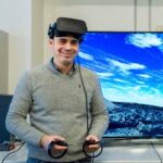 Prof. Fabio L. Bonali, specializes in seismic and volcanic hazards, active tectonics, and volcano-tectonics. His research spans Italy, Eastern Europe, Iceland, South America, and Asia, utilizing fieldwork, drone surveys, and VR technologies. Over the last 14 years, he has published 76 ISI papers and led 14 international projects, including two Erasmus+ initiatives. He has also led a project supported by NATO and the European Space Agency (ESA). Prof. Bonali has received four international awards (2017-2018), including the Flinn-Hart Award from the International Lithosphere Program Bureau, an award from the Emergency Management Agency of Georgia for advancing seismic hazard knowledge in the Caucasus, and recognition from the European Geosciences Union for his geo-related dissemination efforts using immersive VR for people with motor disabilities.
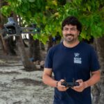 Dr. Luca Fallati is a Researcher, specializing in drone-based photogrammetry for studying climate- and tectonic-driven landscape evolution. His work integrates UAVs and high-resolution remote sensing to generate 2.5D and 3D models for environmental monitoring. He applies Deep Learning and OBIA for automated terrain analysis, particularly in coastal and fragile environments. He also develops underwater photogrammetry techniques using scuba and ROV-assisted imaging to reconstruct 3D models of coral reefs, seafloor habitats, and cold seep areas. His research enhances geomorphological mapping, GIS analysis, and immersive virtual reality applications for scientific and environmental studies.
 Dr. Emanuela De Beni, a permanent researcher at INGV-OE and head of the Cartography and Drone Laboratory, coordinates the mapping of volcanic products and topographic updates after eruptions at Mt. Etna. She integrates UAS, aerial, and satellite data, combining platforms to provide a comprehensive understanding of volcanic activity. With nearly a decade of experience operating drones in extreme volcanic conditions, she has applied her expertise to disseminate scientific knowledge across educational levels, from schools to PhD programs. Recently, she organized the first Volcanological Flying School in collaboration with the Italian Association of Volcanology (AIV) to train participants in UAS-based volcano monitoring. Dr. De Beni also leads projects on the 3D reconstruction of volcanic areas and contributes to European initiatives for geo-hazard mitigation.
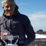 Massimo Cantarero, a technician at INGV-OE, has worked for more than a decade on UAS operations and volcanic monitoring. With a background in architectural, naval, and aeronautical design, he joined INGV in 2001 after obtaining a Master’s Degree in Disaster Management. Since recognizing the transformative potential of drones in 2010, he has focused on UAS surveys, aerial photogrammetry, payload design, teaching, and the development of 2D and 3D products for hostile environments. His work has significantly advanced the field of volcanological observation and risk reduction.
Invited speakers
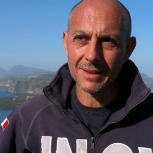 Giuseppe Salerno, a volcanologist with a PhD from the University of Cambridge, is Head of Volcanology at INGV-OE. His research focuses on magmatic degassing and the integration of multi-parametric data to improve eruption forecasting. He has long-standing expertise in remote sensing of volcanic gases and in developing tools for measuring and modeling SO₂ fluxes. GS mainly works on Mt. Etna, Stromboli, and Vulcano, and has participated in international campaigns across the Americas, Iceland, the USA, and Antarctica. Since 2001, he has been actively involved in monitoring and emergency response for eruptions in Italy and El Salvador.
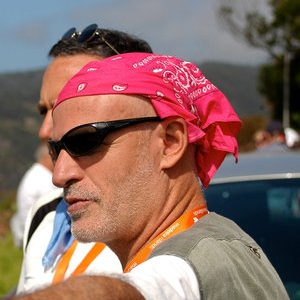 Gianluca Groppelli is a geologist and co-author of the Geological Map of Mount Etna. He is currently a researcher at the Institute of Environmental Geology and Geoengineering (IGAG) of the National Research Council of Italy (CNR). His expertise lies in volcanic geology, with a focus on the structural and stratigraphic evolution of volcanic systems. His research integrates field mapping, 3D geological reconstruction, and analog modeling to assess volcanic hazards and explore geothermal resources. GG’s work focuses on volcaniclastic deposits, debris flows and avalanches, subvolcanic bodies, and paleoseismic records. He has contributed to geothermal exploration and structural geology studies in active volcanic regions. As a contract professor, he teaches “Volcanic Geology” and “Volcanology,” and has taken part in numerous scientific campaigns in Italy and internationally.
 Fabio Vitello, a senior researcher in computer science, specializes in immersive technologies and 3D visualization for scientific applications. He has led the development of advanced VR tools for visual analytics, geospatial exploration, and high-fidelity 3D reconstructions. His expertise spans real-time rendering, interactive simulations, and high-performance computing (HPC) for large-scale data visualization. In recent years, he has contributed to projects such as NEANIAS, ASTRI, CTA, and EOSC, focusing on VR-enhanced scientific workflows. As a collaborator with the GeoVires Lab at the University of Milan-Bicocca, he develops virtual environments for geohazard analysis, remote sensing, and educational outreach.
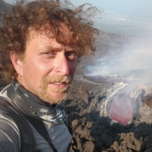 Francesco Ciancitto is a technician at the Istituto Nazionale di Geofisica e Vulcanologia – Osservatorio Etneo, specializing in thermal and visual monitoring of active volcanoes. He graduated in Electronic Engineering in 2006, became a certified Volcanological Guide in 2017, and earned a PhD in Electronic Engineering, in 2018. Since 2010, he has worked on the development, installation, and maintenance of monitoring stations equipped with visible, infrared, and thermal cameras on Sicilian volcanoes. He has also created software tools for analyzing thermal imagery in support of scientific research. In addition to operating fixed systems, he regularly conducts field surveys with portable thermal cameras, contributing to real-time observation and hazard assessment.
 Cristina Proietti, a technologist at the National Institute of Geophysics and Volcanology – Osservatorio Etneo (INGV-OE), has been working in volcanology since 2003. With a background in Earth and Environmental Physics, she earned her PhD from the University of Bologna, focusing on multitemporal geometrical analysis and numerical simulation of lava flows. Her expertise lies in the use of Geographic Information Systems (GIS) for mapping and quantifying eruptive products and topographic variations of active volcanoes. In addition to her research and monitoring activities, she has lectured on GIS applications in volcanic monitoring at the Volcanological Flying School 2024 and in university and high school courses.
Additional staff
 Mario Pulvirenti, an electronic technician at the National Institute of Geophysics and Volcanology, has over 20 years of experience managing the GPS network for monitoring Sicily, its volcanoes, and the Strait of Messina. In recent years, his work has focused on developing instruments for seismic measurements and distributed deformation monitoring using optical fibers.
 Daniele Pellegrino, an electronic technician at the National Institute of Geophysics and Volcanology, has over 20 years of experience managing the GPS network for monitoring Sicily and its volcanoes. In recent years, his work has focused on developing instruments for distributed strain measurements using optical fibers, contributing to advancements in geophysical monitoring technologies.
 Mario Paratore, a researcher at INGV-OE, specializes in seismology applied to volcanic environments. After earning a degree in Geological Sciences in 2001 and beginning a PhD on Mount Etna’s eastern slope stability, he joined INGV in 2013. His work focuses on seismic amplification, site effects, and wavefield modeling using 2D seismic and infrasonic array techniques. Since 2020, he has contributed to global volcano monitoring as an on-call expert for the ARISTOTLE project, while also supporting UAS surveys and GIS-based cartographic analysis at the INGV-Etna Observatory.